3D Printing Massanutten
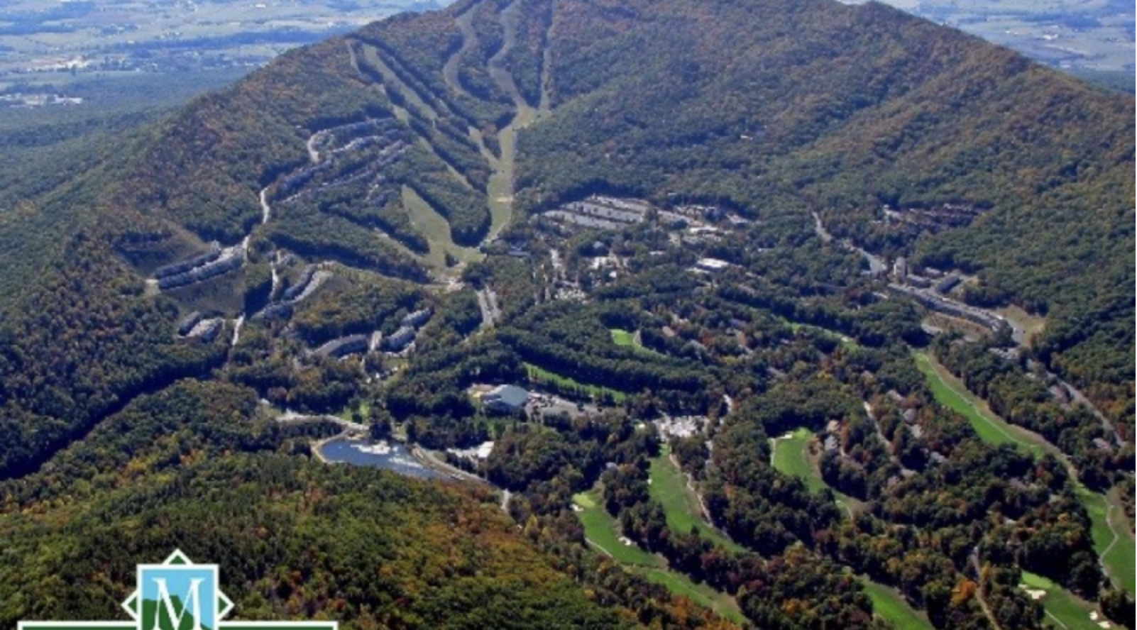
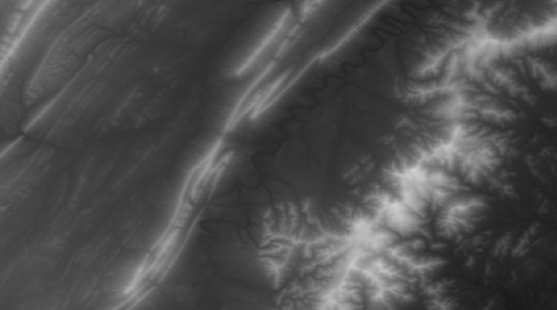
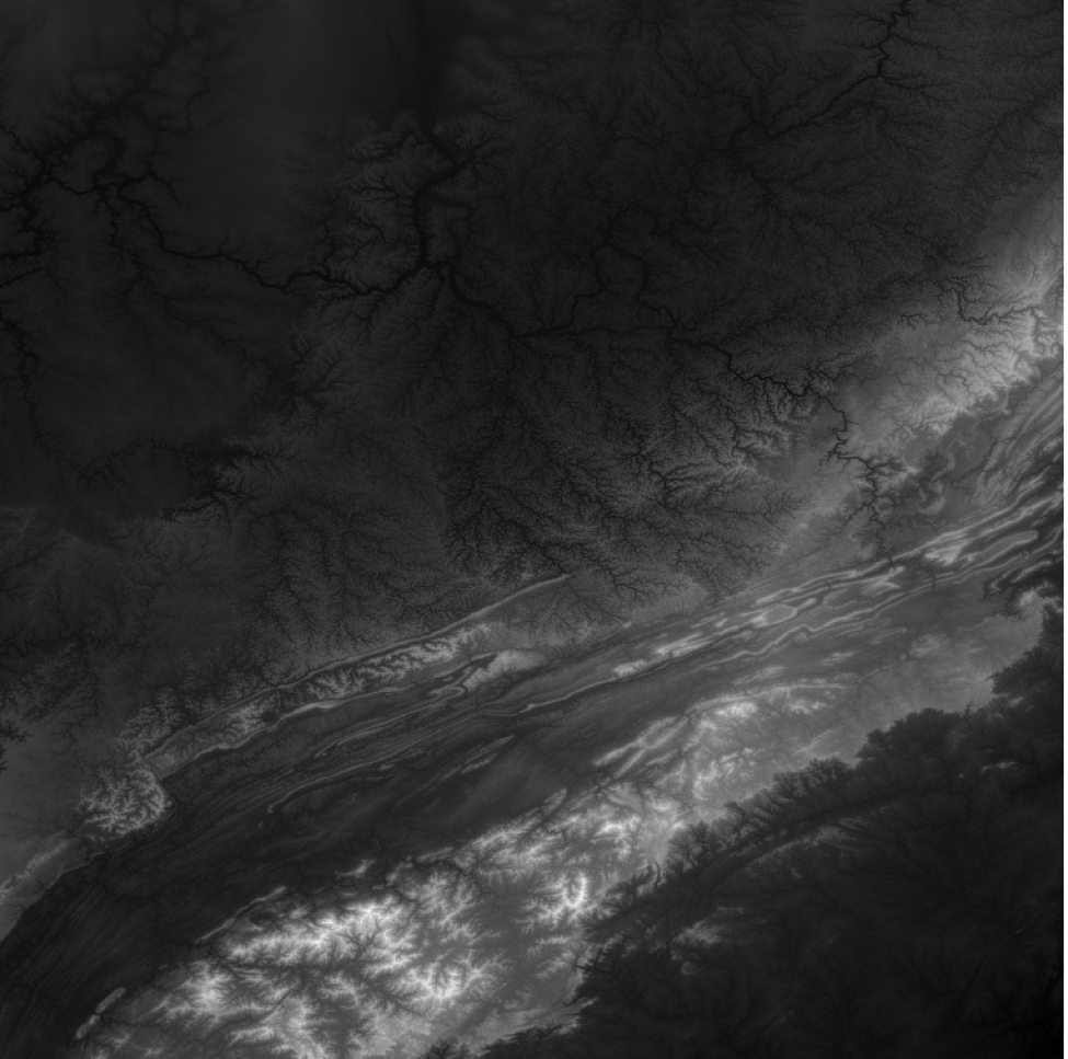
After much anticipation a print of the Massanutten range is finally on its way! Last week our group tinkered with topographic images that contained elevation data to convert it to a printable map. Unfortunately, the printer our team was using began to malfunction approximately 3 hours into the print. According to the 3D Printing classroom maintenance man the Ultamaker 2’s (which was the printer we used for our first attempt) have not keeping the prints stable to the printing platform while the print is being produced. However, this minor setback is not stopping our team from moving forward! As this blog post was being written our second attempt print of Massanutten is on its way in an Ultamaker 3 with an estimated 20 hours to go. The next step after our print is finalized is to take the original image and upload it to the Meshmixer software. This software will allow us to slice the image and expand it to create a larger, more to scale map. In addition, our team member DanDan is researching the size of Massanutten so we can create an appropriate scale for our map.

Finally, our final presentation/workshop is approaching fast and furious. Our team is in the process of recruiting a wide variety of audience members who might benefit from our semester’s knowledge and experience, along with the skills learned in our presentation. While we had to scrap our original lesson plan, the team is creating new ideas that could fit a variety of audience members. We are still in the process of gathering research on the region. For example, our sign up is open to faculty, JMU students, future educators, as well as, students who attend local schools. We are overjoyed at the opportunity to work with so many members of our community and are working hard to accommodate all their inquiries!
https://qgis.org/en/site/forusers/download.html#
http://srtm.csi.cgiar.org/SELECTION/inputCoord.asp