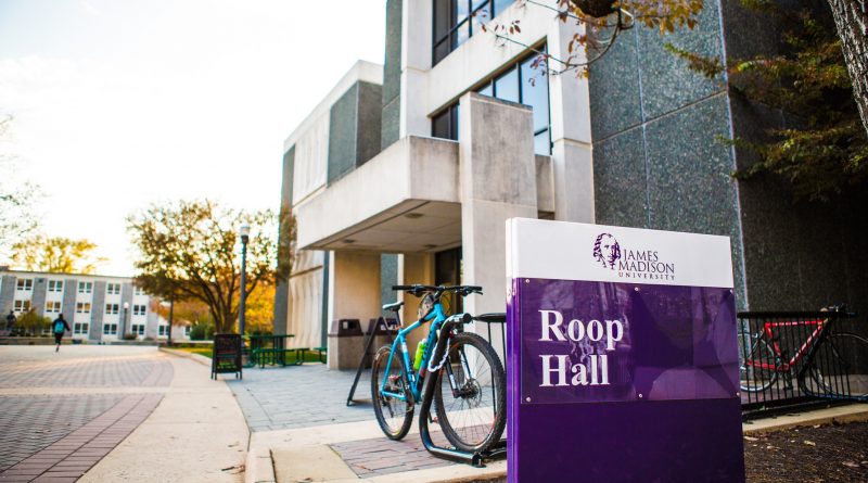
From Carrier Library to Roop Hall
Update:
After the success of our last two working prints of Carrier Library first and second floor, we decided to work on implementation throughout the library. Unfortunately, the library already has a group of students actively working on a similar task. Therefore, we decided to switch gears and tackle a building that would be more interested in implementing our hard work. Christina and Paige took a trip to Roop Hall to take photos of the floor plans.
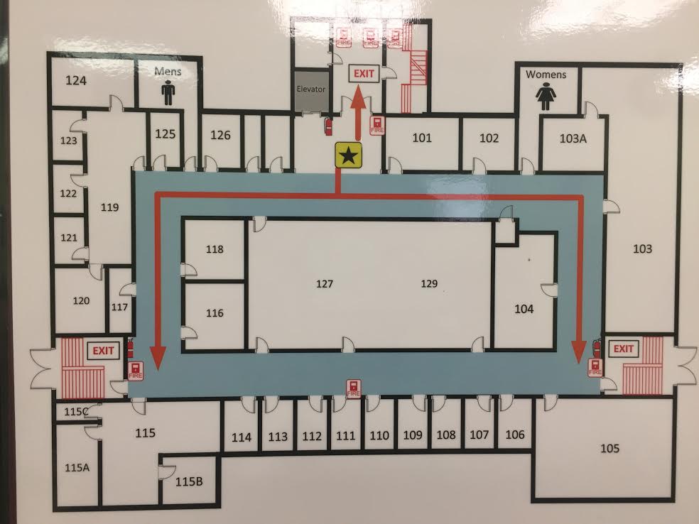
There are four floors of Roop Hall, which means we have our hands full working on Fusion360 to trace and extrude the rooms.
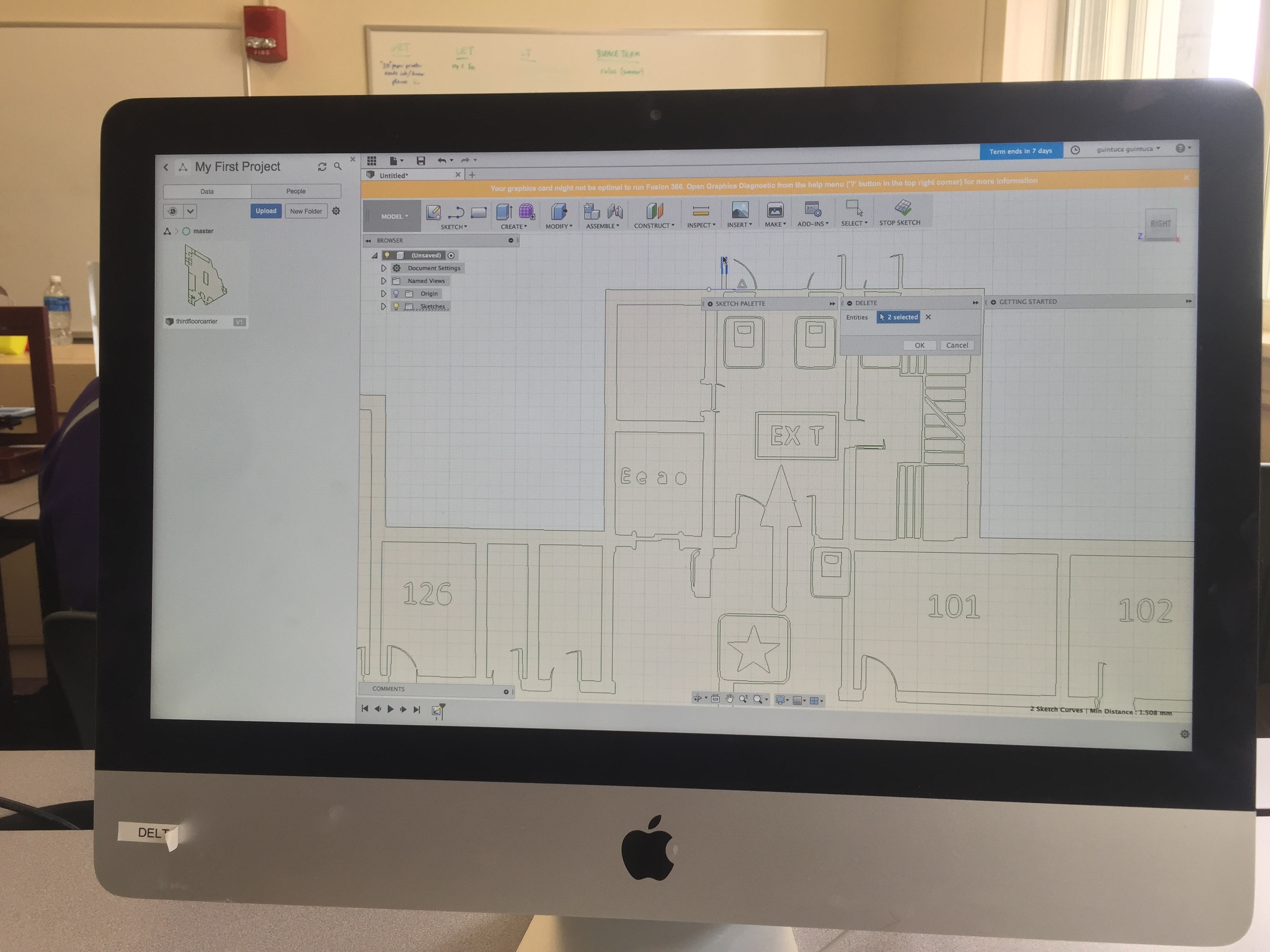
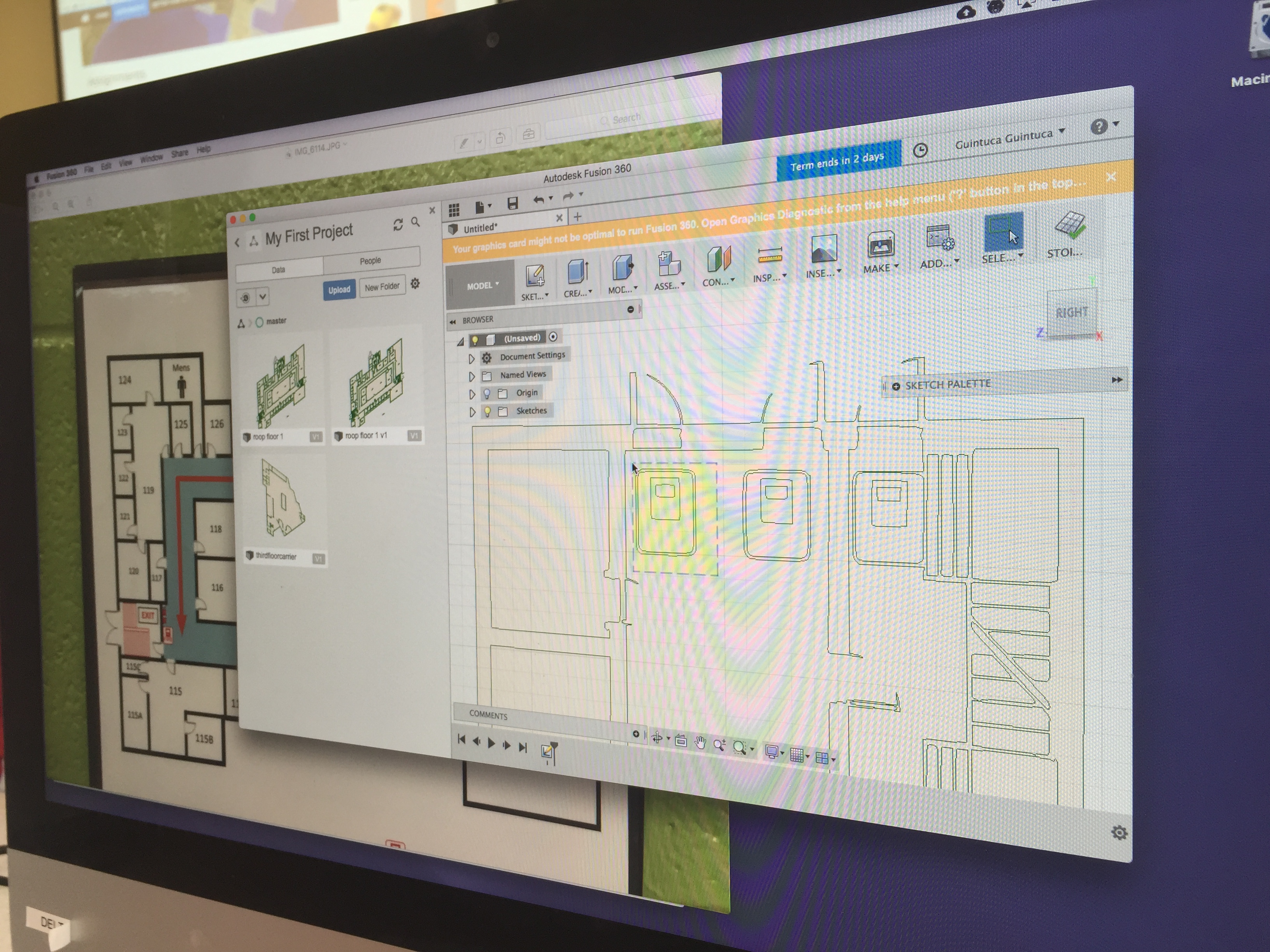
As you can tell, the floor plans are a bit cluttered with Exit signs, room numbers, and fire extinguisher symbols meaning it is taking a lot of time to clean up with SVG files.
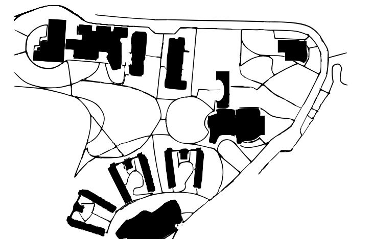
Campus Map:
Just in case our Roop Hall idea gets shot down as well, we are also looking at printing a multiple section map of the buildings and walkways of the entire JMU campus. We’ve been using the photos of the campus provided by the JMU website and using INKScape which is a free and open source vector graphics editor to get a black and white SVG file of different sections of the JMU campus. We started off with the quad and Skyline and using the map, we add another layer where once we get all the buildings and walkways in black, we can remove the layer with the names and other colored buildings.

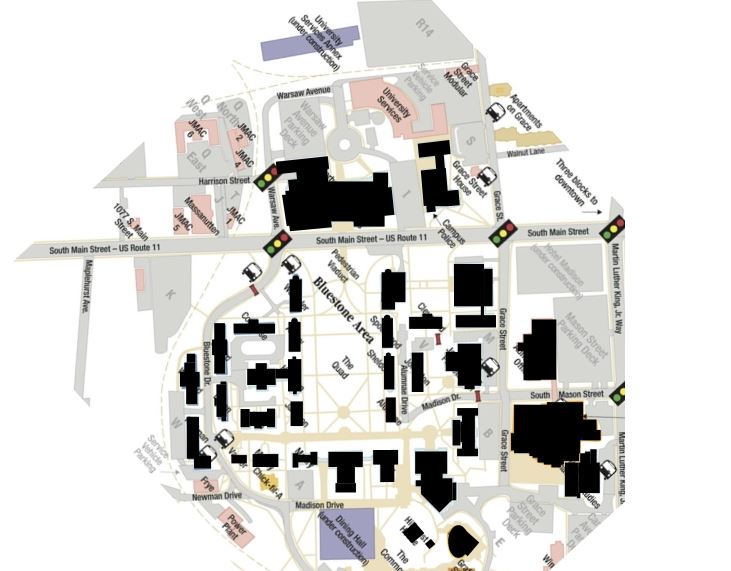
The next section of campus we worked on was the skyline area, where we tried to outline the walkways with the INKScape software, but the walkways turned out too thin and weren’t distinguishable from the buildings on Tinkercad, so after our initial try, we decided to have Paige outline the walkways on paper with a black sharpie, and then we can take a picture of that, convert it to an SVG file, and then import into INKScape so we have accurate walkways. Below is our initial attempt with the skyline section of campus, but the walkways are too distorted to print accurately.